





SimWorld and SimEdit: SimBT’s software infrastructure

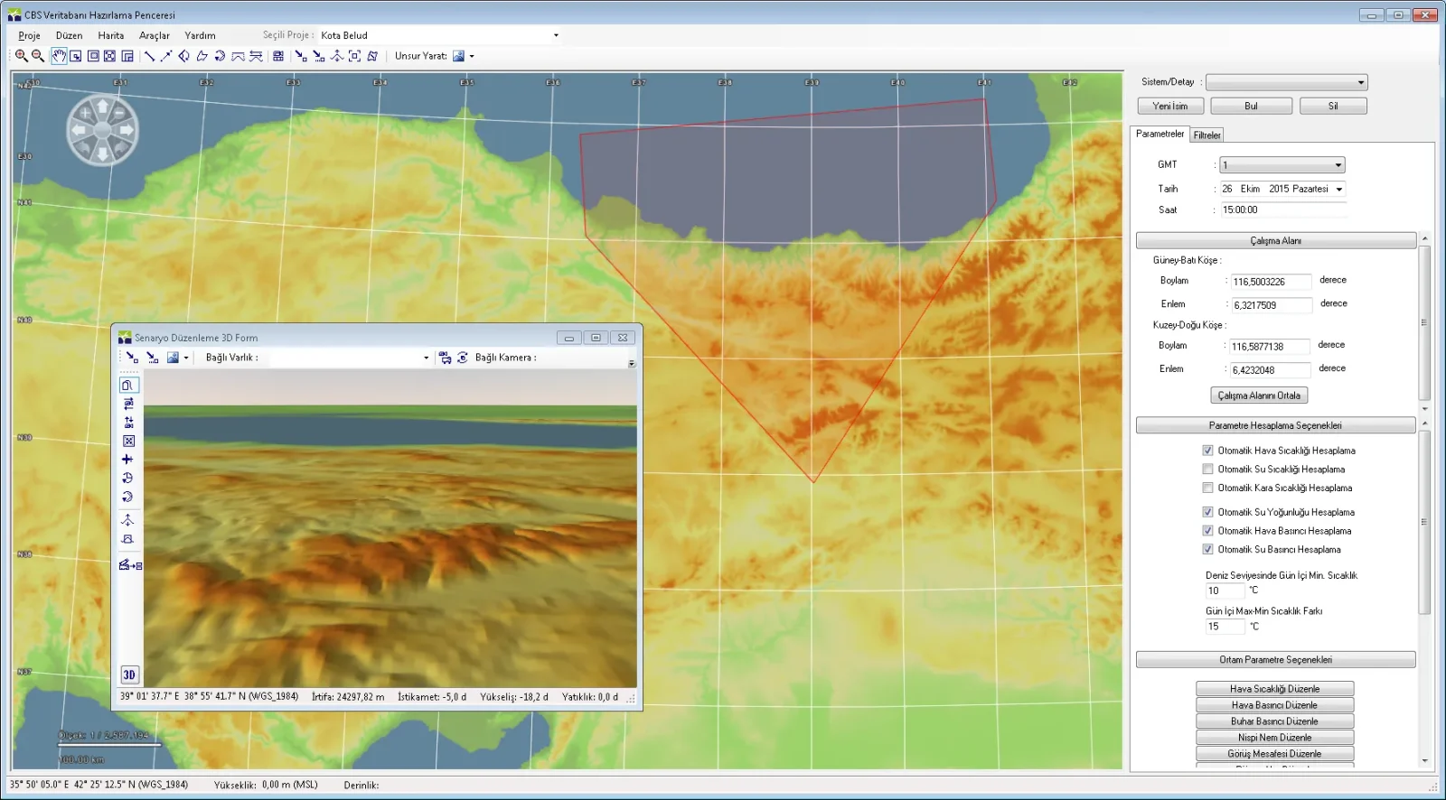
Quick answer: SimWorld and SimEdit form the software infrastructure behind the simulators of SimBT. SimWorld is, according to the company, a library and application programming interface (API) running to more than 1.5 million lines of code; SimEdit is the editor that prepares 3D visual databases through mouse interaction. The family is completed by the SimTerrain terrain tool, the GenMap generic map generator, the SimModel model library, the Sanor scenario system and SimVideo.
SimWorld: the operating layer of the simulation
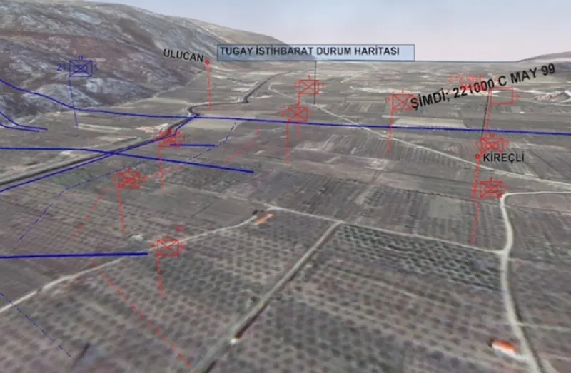
According to the official product page SimWorld contains the following infrastructure: a geographic information system, generic map generation, tactical symbology and graphics compliant with military standards, astronomy and meteorology calculations, detection algorithms and an artificial intelligence engine, scenario preparation and execution, run recording and replay, 2D map and 3D environment display, and holographic display. In the SSB 2026 catalogue the product is listed with the description “geographic information system software”.
That scope makes SimWorld less a single product than the common layer on which all the company’s simulators are built. The Sanor scenario system has also been developed on the SimWorld API.
SimEdit: where the virtual environment is built
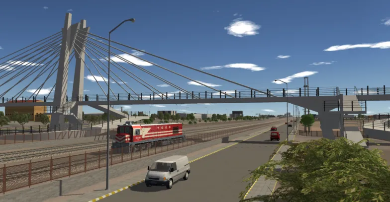
SimEdit converts digital terrain and 3D content, including land, underwater and surface, into a visual database; the prepared data is passed to the SimRealize image generator. The company describes the product as a tool that “answers the most basic and the most complex 3D virtual environment preparation needs”. In the SSB catalogue it appears under the name “virtual environment development editor”.
The tools that complete the family
| Tool | Function | Headline information |
|---|---|---|
| SimTerrain | GIS database preparation | Integrates different map formats into a single database |
| GenMap | Generic 3D map generation | Procedural terrain and sea charts containing no real or classified maps |
| SimModel | 3D model library | More than 2,250 land, air, surface and underwater models |
| Sanor | Scenario preparation and execution | Run recording, replay, reporting, plug-in support |
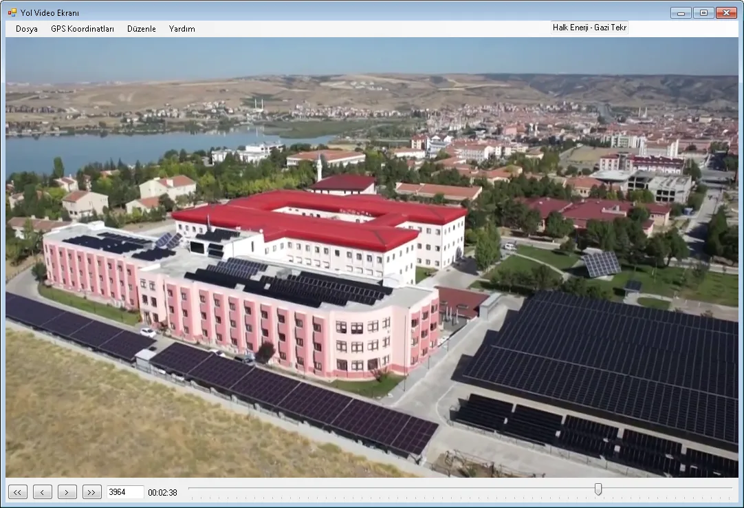
| SimVideo | GPS integrated video matching | Plays the virtual environment against the video frame with position and orientation synchronisation |
GenMap producing maps “with no counterpart in the real world” is aimed at setting up training in classified exercise scenarios without sharing real maps. SimVideo, by playing the virtual environment simultaneously from the same position using GPS integrated footage, verifies the environment modelling against real imagery.
Why it matters: the tool chain approach
In simulator projects the environment preparation (terrain, models, scenarios) accounts for the greater part of the total workload. SimBT’s SimEdit-SimTerrain-GenMap-SimModel chain aims to keep that preparation in house and so reduce dependence on external tools. The outputs of the chain are used in the MarSim bridge simulators, in the land simulators and in the HoloTable holographic display. The licensing model for the products and their use in third party projects are not officially disclosed.
Frequently asked questions
Is SimWorld a product or an infrastructure?
Both. The company sells SimWorld with its own brochure; at the same time it is the common infrastructure layer of its own simulators.
Which military standards does SimWorld support?
The official page uses the phrase “tactical symbology compliant with military standards”; the standard names (the MIL-STD-2525 version, for example) are not officially disclosed.
Which formats does SimEdit read?
The list of supported file formats is not officially disclosed; SimTerrain is stated to integrate “different map formats”.
Why does GenMap produce generic maps?
To set up training and analysis scenarios without using real or classified maps; the terrain produced is procedural, with no counterpart in the real world.
Are these tools licensed to third parties?
The licensing model is not officially disclosed. Product brochures are published on the official website; for all families see the product guide.
Sources and verification note
The technical scope is a manufacturer statement; values such as the line count and the number of models cannot be independently verified. Undisclosed data has been marked “Not officially disclosed.” Accessed: August 12, 2026.
- https://www.simbt.com.tr/urunler/
- https://www.simbt.com.tr/urunler/denizcilik-simulasyon-ve-simulator-urun-ailesi/
- http://www.simbt.com.tr/urunler/id/5/simulasyon_ve_cbs_gelistirme_bileseni_simworld_ (archive: web.archive.org)